library(dplyr)
library(sf)
packageVersion("sf")
[1] '1.1.0'
library(dplyr)
library(sf)
packageVersion("sf")[1] '1.1.0'dir_shapefile <- "D:/N03-20240101_GML"
dir_shapefile %>% setwd()
cat("--- フォルダ内のファイルを確認 ---\n")
dir(pattern = "N03-20240101") %>% matrix()
cat("\n--- 座標系を確認 ---\n")
st_read("N03-20240101.shp") %>% st_crs()--- フォルダ内のファイルを確認 ---
[,1]
[1,] "KS-META-N03-20240101.xml"
[2,] "KS-META-N03-20240101_prefecture.xml"
[3,] "N03-20240101.cpg"
[4,] "N03-20240101.dbf"
[5,] "N03-20240101.geojson"
[6,] "N03-20240101.prj"
[7,] "N03-20240101.shp"
[8,] "N03-20240101.shx"
[9,] "N03-20240101.xml"
[10,] "N03-20240101_prefecture.cpg"
[11,] "N03-20240101_prefecture.dbf"
[12,] "N03-20240101_prefecture.geojson"
[13,] "N03-20240101_prefecture.prj"
[14,] "N03-20240101_prefecture.shp"
[15,] "N03-20240101_prefecture.shx"
[16,] "N03-20240101_prefecture.xml"
--- 座標系を確認 ---
Reading layer `N03-20240101' from data source
`D:\N03-20240101_GML\N03-20240101.shp' using driver `ESRI Shapefile'
Simple feature collection with 124133 features and 6 fields
Geometry type: POLYGON
Dimension: XY
Bounding box: xmin: 122.9326 ymin: 20.42275 xmax: 153.9867 ymax: 45.55724
Geodetic CRS: JGD2011
Coordinate Reference System:
User input: JGD2011
wkt:
GEOGCRS["JGD2011",
DATUM["Japanese Geodetic Datum 2011",
ELLIPSOID["GRS 1980",6378137,298.257222101,
LENGTHUNIT["metre",1]]],
PRIMEM["Greenwich",0,
ANGLEUNIT["degree",0.0174532925199433]],
CS[ellipsoidal,2],
AXIS["geodetic latitude (Lat)",north,
ORDER[1],
ANGLEUNIT["degree",0.0174532925199433]],
AXIS["geodetic longitude (Lon)",east,
ORDER[2],
ANGLEUNIT["degree",0.0174532925199433]],
USAGE[
SCOPE["Horizontal component of 3D system."],
AREA["Japan - onshore and offshore."],
BBOX[17.09,122.38,46.05,157.65]],
ID["EPSG",6668]]dir_shapefile %>% setwd()
japanshp <- read_sf("N03-20240101.shp", options = "ENCODING=UTF-8", crs = 6668)
japanshp$Pref_code <- japanshp$N03_007 %>% substr(start = 1, stop = 2)class(japanshp)[1] "sf" "tbl_df" "tbl" "data.frame"japanshp %>% head()Simple feature collection with 6 features and 7 fields
Geometry type: POLYGON
Dimension: XY
Bounding box: xmin: 140.9905 ymin: 42.78071 xmax: 141.4735 ymax: 43.18951
Geodetic CRS: JGD2011
# A tibble: 6 × 8
N03_001 N03_002 N03_003 N03_004 N03_005 N03_007 geometry
<chr> <chr> <chr> <chr> <chr> <chr> <POLYGON [°]>
1 北海道 石狩振興局 <NA> 札幌市 中央区 01101 ((141.2569 42.99782, 141.2…
2 北海道 石狩振興局 <NA> 札幌市 北区 01102 ((141.3333 43.07505, 141.3…
3 北海道 石狩振興局 <NA> 札幌市 東区 01103 ((141.3734 43.0684, 141.37…
4 北海道 石狩振興局 <NA> 札幌市 白石区 01104 ((141.382 43.04832, 141.38…
5 北海道 石狩振興局 <NA> 札幌市 豊平区 01105 ((141.3637 42.94154, 141.3…
6 北海道 石狩振興局 <NA> 札幌市 南区 01106 ((141.2354 42.82273, 141.2…
# ℹ 1 more variable: Pref_code <chr>japanshp %>% tail()Simple feature collection with 6 features and 7 fields
Geometry type: POLYGON
Dimension: XY
Bounding box: xmin: 122.933 ymin: 24.43985 xmax: 122.9988 ymax: 24.45177
Geodetic CRS: JGD2011
# A tibble: 6 × 8
N03_001 N03_002 N03_003 N03_004 N03_005 N03_007 geometry
<chr> <chr> <chr> <chr> <chr> <chr> <POLYGON [°]>
1 沖縄県 <NA> 八重山郡 与那国町 <NA> 47382 ((122.9347 24.44785, 122.93…
2 沖縄県 <NA> 八重山郡 与那国町 <NA> 47382 ((122.933 24.4517, 122.933 …
3 沖縄県 <NA> 八重山郡 与那国町 <NA> 47382 ((122.934 24.4482, 122.934 …
4 沖縄県 <NA> 八重山郡 与那国町 <NA> 47382 ((122.9421 24.44395, 122.94…
5 沖縄県 <NA> 八重山郡 与那国町 <NA> 47382 ((122.9988 24.43985, 122.99…
6 沖縄県 <NA> 八重山郡 与那国町 <NA> 47382 ((122.9331 24.45176, 122.93…
# ℹ 1 more variable: Pref_code <chr># 『aggregate an sf object, possibly union-ing geometries』
raw_japanmap <-
aggregate(
x = japanshp[, "Pref_code", "geometry"],
by = list(japanshp$Pref_code),
FUN = function(x) length(x = x), # 1都道府県当たりの結合した行数
do_union = TRUE, # logical; should grouped geometries be unioned using st_union?
simplify = TRUE
)
setwd(dir_shapefile)
st_write(obj = raw_japanmap, dsn = "raw_japanmap.shp", layer_options = "ENCODING=UTF-8", delete_dsn = T)
beepr::beep(sound = 1)setwd(dir_shapefile)
raw_japanmap <- read_sf("raw_japanmap.shp", options = "ENCODING=UTF-8")# 許容誤差を1000mとする。
raw_japanmap_valid <- st_make_valid(raw_japanmap)
simple_japanmap <- st_simplify(raw_japanmap_valid, dTolerance = 1000, preserveTopology = TRUE)
setwd(dir_shapefile)
st_write(obj = simple_japanmap, dsn = "simple_japanmap.shp", layer_options = "ENCODING=UTF-8", delete_dsn = T)
beepr::beep(sound = 1)setwd(dir_shapefile)
simple_japanmap <- read_sf("simple_japanmap.shp", options = "ENCODING=UTF-8")
colnames(simple_japanmap)[1:2] <- c("prefID", "row_count")
simple_japanmapSimple feature collection with 47 features and 2 fields
Geometry type: MULTIPOLYGON
Dimension: XY
Bounding box: xmin: 122.9432 ymin: 24.04731 xmax: 148.8908 ymax: 45.55262
Geodetic CRS: JGD2011
# A tibble: 47 × 3
prefID row_count geometry
<chr> <int> <MULTIPOLYGON [°]>
1 01 9560 (((139.3382 41.50194, 139.3354 41.51359, 139.3515 41.52363,…
2 02 2305 (((139.8807 40.58376, 139.8591 40.60252, 139.8706 40.62111,…
3 03 8224 (((141.1034 38.83328, 141.1458 38.85542, 141.1319 38.87843,…
4 04 8339 (((141.5232 38.39524, 141.5338 38.40306, 141.5379 38.38628,…
5 05 2464 (((139.699 40.00305, 139.7098 39.99953, 139.7143 39.99087, …
6 06 721 (((139.5406 39.18333, 139.5388 39.19245, 139.5454 39.21067,…
7 07 229 (((140.4974 36.81926, 140.4727 36.79528, 140.4511 36.80644,…
8 08 220 (((140.6361 36.41667, 140.625 36.43121, 140.61 36.4313, 140…
9 09 28 (((139.7505 36.21238, 139.6911 36.20594, 139.6806 36.20053,…
10 10 37 (((138.7145 35.98672, 138.686 36.00078, 138.6379 36.02694, …
# ℹ 37 more rowslibrary(ggplot2)
ggplot() +
geom_sf(data = simple_japanmap)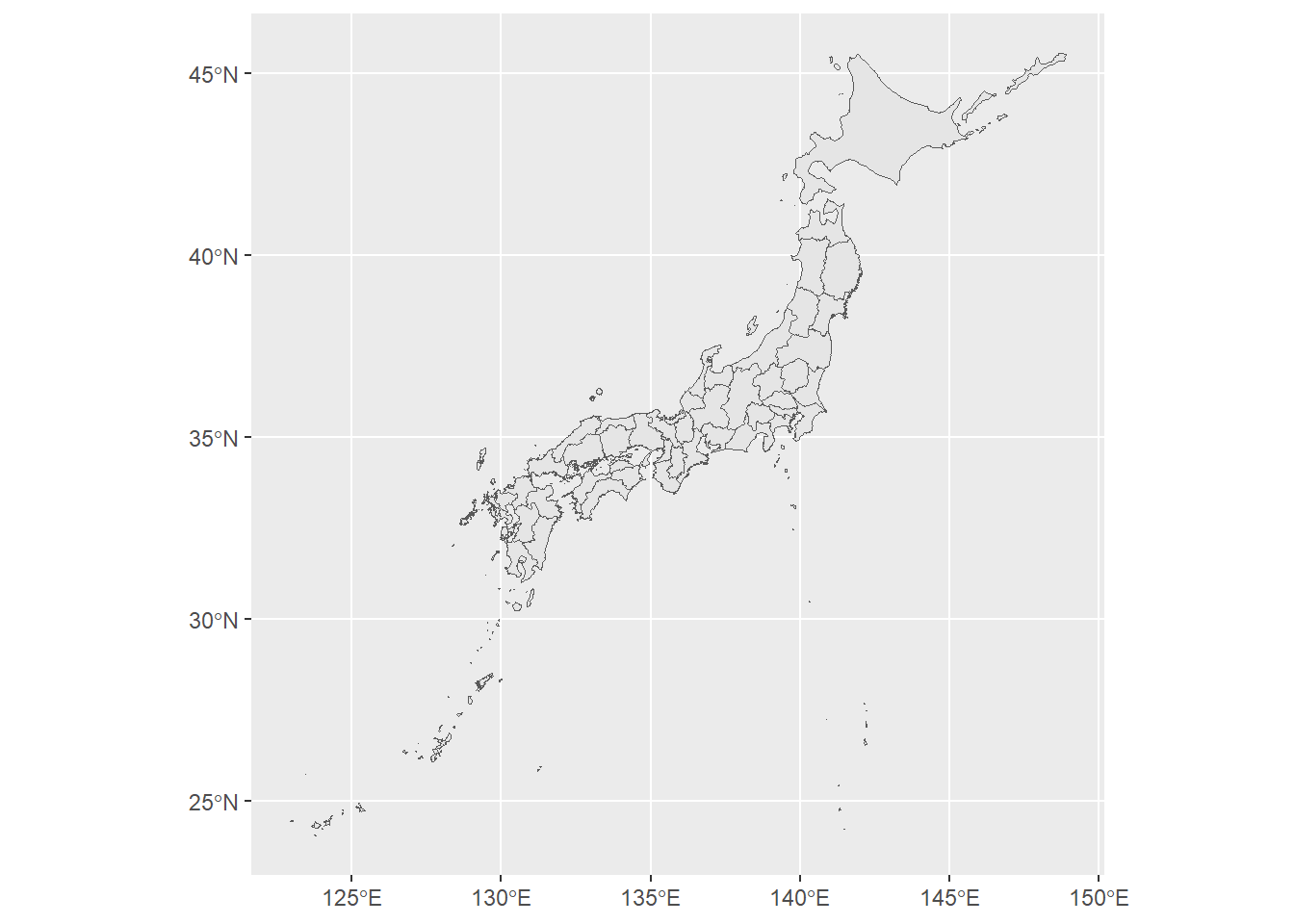
library(geojsonsf)
simple_japanmap_01.geojson <- st_as_sf(x = simple_japanmap)
class(simple_japanmap_01.geojson)
[1] "sf" "tbl_df" "tbl" "data.frame"setwd(dir_shapefile)
st_write(simple_japanmap_01.geojson, "simple_japanmap_01.geojson", delete_dsn = T)Deleting source `simple_japanmap_01.geojson' using driver `GeoJSON'
Writing layer `simple_japanmap_01' to data source
`simple_japanmap_01.geojson' using driver `GeoJSON'
Writing 47 features with 2 fields and geometry type Multi Polygon.setwd(dir_shapefile)
simple_japanmap_01.geojson <- read_sf("simple_japanmap_01.geojson")
ggplot() +
geom_sf(data = simple_japanmap_01.geojson)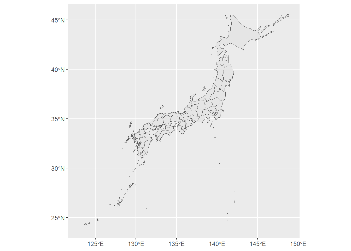
(simple_japanmap$geometry[13] <-
  st_crop(x = simple_japanmap$geometry[13], y = c(xmin = 125, xmax = 150, ymin = 30, ymax = 90)))
ggplot() +
  geom_sf(data = simple_japanmap)
Geometry set for 1 feature
Geometry type: MULTIPOLYGON
Dimension: XY
Bounding box: xmin: 138.9458 ymin: 32.44661 xmax: 139.9153 ymax: 35.8971
Geodetic CRS: JGD2011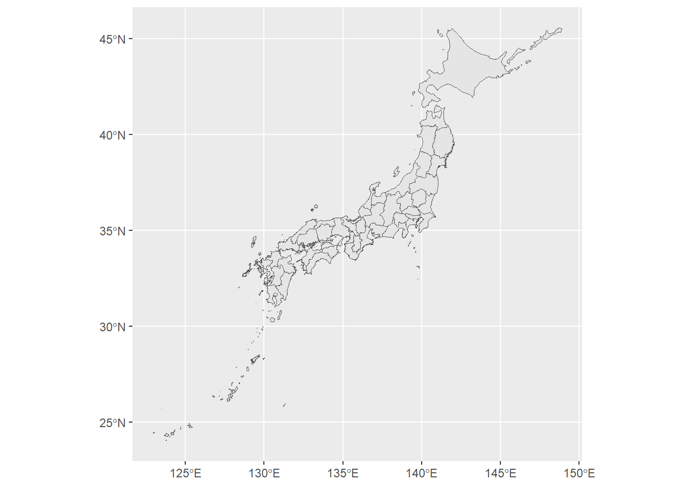
(simple_japanmap$geometry[46] <-
  st_crop(x = simple_japanmap$geometry[46], y = c(xmin = 125, xmax = 150, ymin = 28.5, ymax = 90)))
ggplot() +
  geom_sf(data = simple_japanmap)
Geometry set for 1 feature
Geometry type: MULTIPOLYGON
Dimension: XY
Bounding box: xmin: 129.1862 ymin: 29.13424 xmax: 131.2047 ymax: 32.30436
Geodetic CRS: JGD2011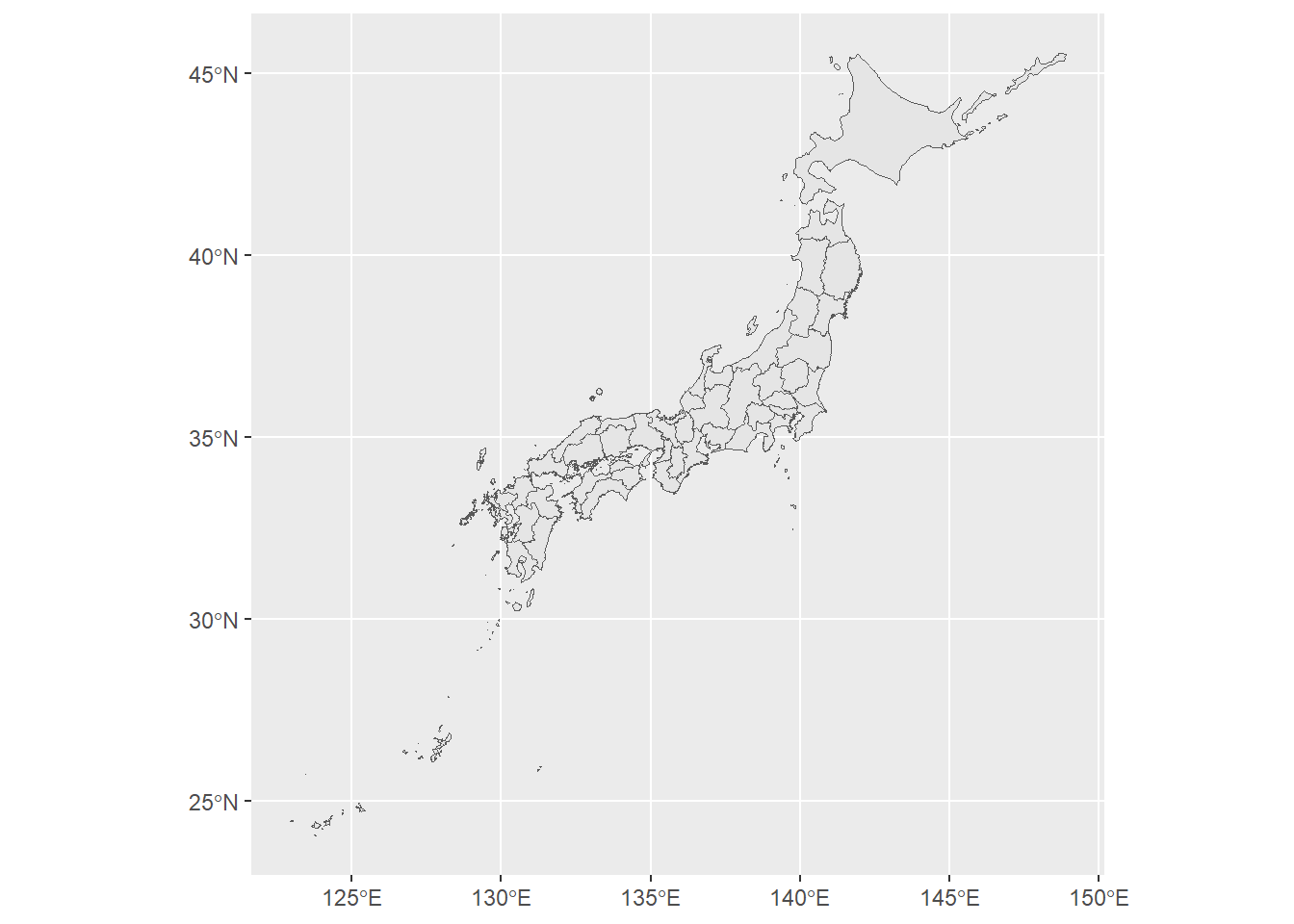
(simple_japanmap$geometry[47] <-
  st_crop(x = simple_japanmap$geometry[47], y = c(xmin = 127.5, xmax = 150, ymin = 26, ymax = 26.89)))
ggplot() +
  geom_sf(data = simple_japanmap)
Geometry set for 1 feature
Geometry type: MULTIPOLYGON
Dimension: XY
Bounding box: xmin: 127.6317 ymin: 26.08155 xmax: 128.3273 ymax: 26.92545
Geodetic CRS: JGD2011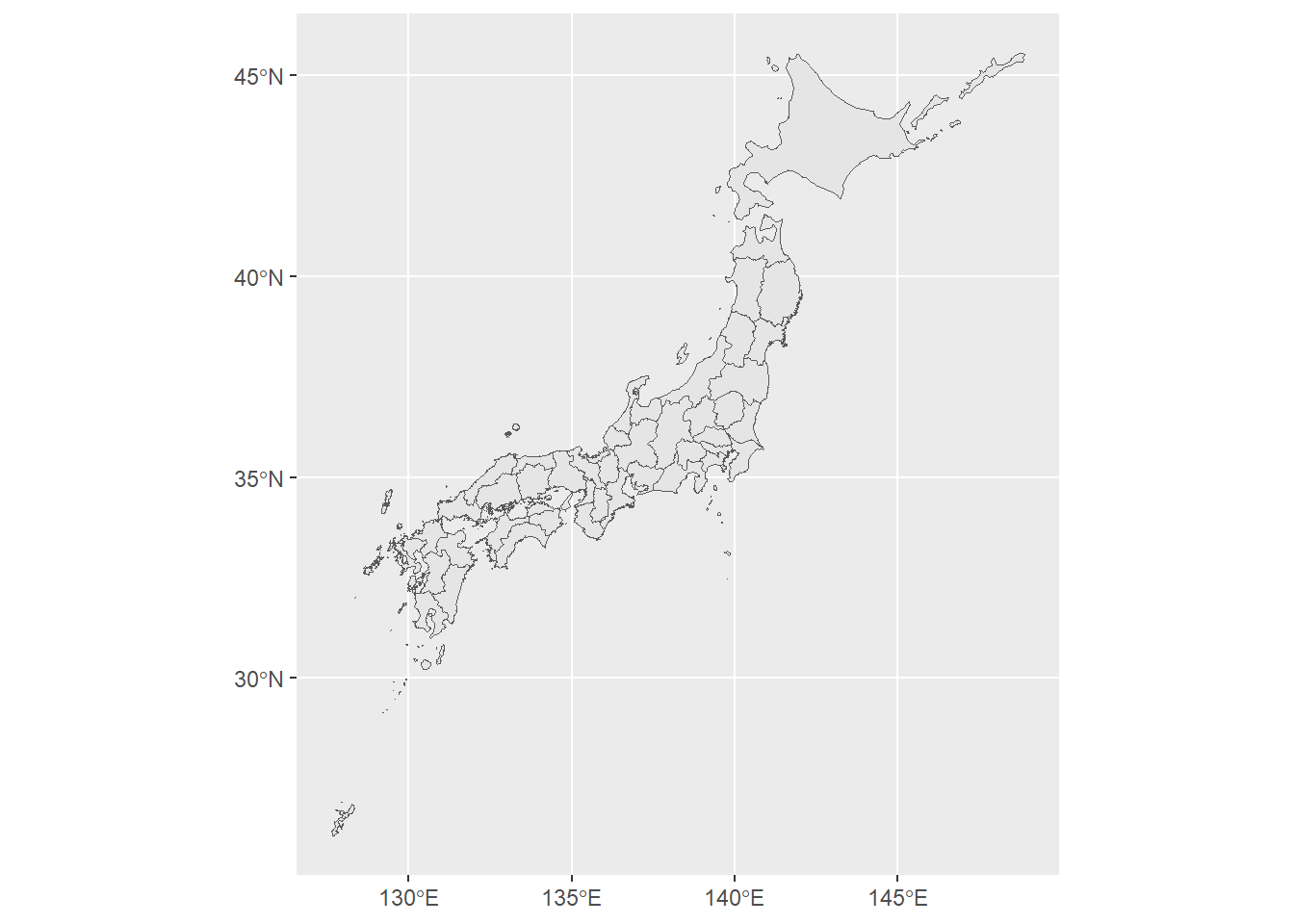
okinawa01 <- simple_japanmap$geometry[47]
center_of_okinawa <- sf::st_centroid(okinawa01)
zoom_rate <- 3 # 拡大率
position_shift <- c(5, 15) # c(経度,緯度) 東に5度、北に15度移動。
simple_japanmap$geometry[47] <- (okinawa01 - center_of_okinawa) * zoom_rate + center_of_okinawa + position_shift
ggplot() +
  geom_sf(data = simple_japanmap)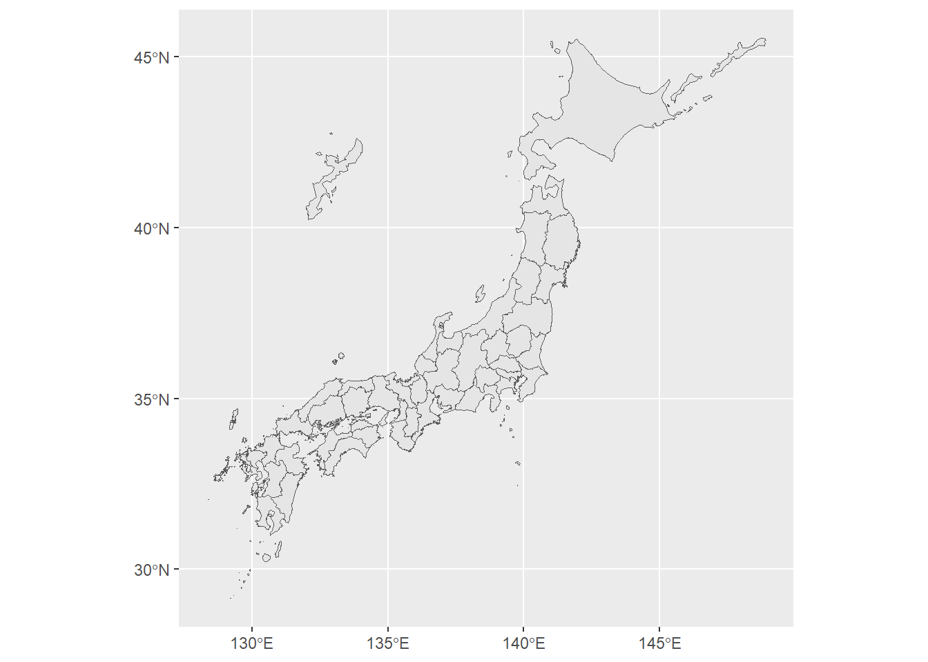
simple_japanmap_02.geojson <- st_as_sf(x = simple_japanmap)
class(simple_japanmap_02.geojson)
[1] "sf" "tbl_df" "tbl" "data.frame"setwd(dir_shapefile)
st_write(simple_japanmap_02.geojson, "simple_japanmap_02.geojson", delete_dsn = T)Deleting source `simple_japanmap_02.geojson' using driver `GeoJSON'
Writing layer `simple_japanmap_02' to data source
`simple_japanmap_02.geojson' using driver `GeoJSON'
Writing 47 features with 2 fields and geometry type Multi Polygon.setwd(dir_shapefile)
simple_japanmap_02.geojson <- read_sf("simple_japanmap_02.geojson")
ggplot() +
geom_sf(data = simple_japanmap_02.geojson)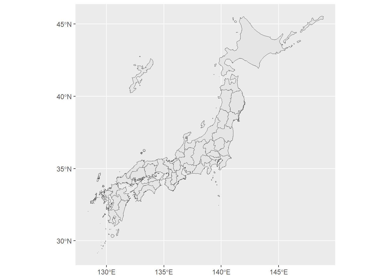
func_add_segment_to_shp_map <-
  function(x = c(129, 132.5, 136),
           xend = c(132.5, 136, 136),
           y = c(39, 39, 42),
           yend = c(39, 42, 44),
           size = ggplot2::.pt / 15) {
    ggplot2::annotate("segment",
      x = x,
      xend = xend,
      y = y,
      yend = yend,
      linewidth = .pt / 15
    )
  }
ggplot() +
  geom_sf(data = simple_japanmap) +
  func_add_segment_to_shp_map() +
  theme(axis.title = element_blank())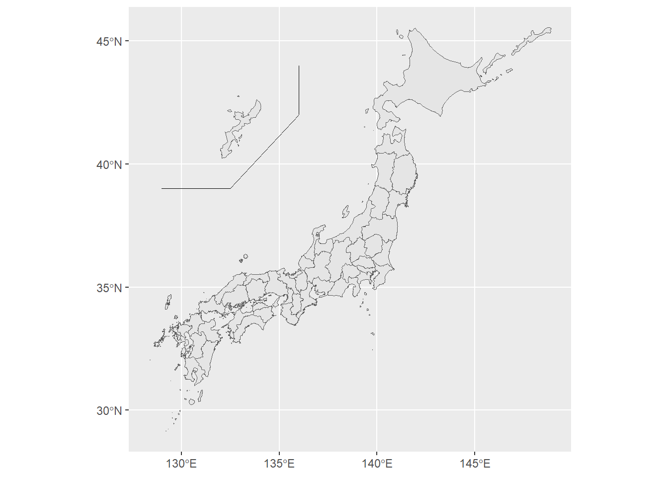
datadf <- data.frame(prefID = simple_japanmap$prefID, value = simple_japanmap$prefID %>% as.numeric())
glimpse(datadf)
Rows: 47
Columns: 2
$ prefID <chr> "01", "02", "03", "04", "05", "06", "07", "08", "09", "10", "11…
$ value <dbl> 1, 2, 3, 4, 5, 6, 7, 8, 9, 10, 11, 12, 13, 14, 15, 16, 17, 18, …df <- left_join(simple_japanmap, datadf)
ggplot() +
geom_sf(mapping = aes(fill = value), data = df) +
func_add_segment_to_shp_map() +
scale_fill_gradient2(low = "yellow", mid = "orange", high = "red", midpoint = 25) +
theme(axis.title = element_blank())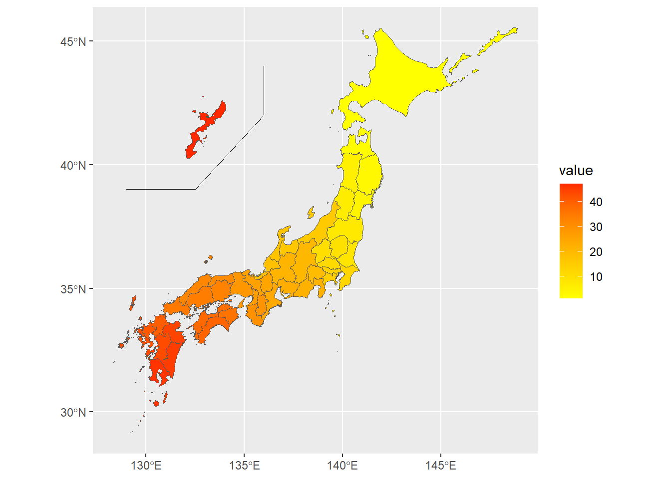
Sys.time()[1] "2026-06-16 17:47:06 JST"R.Version()$version.string[1] "R version 4.5.3 Patched (2026-03-11 r89773 ucrt)"quarto::quarto_version()[1] '1.9.38'